South Downs Way
Introduction
The photograph on this page of South Downs Way by Simon Carey as part of the Geograph project.
The Geograph project started in 2005 with the aim of publishing, organising and preserving representative images for every square kilometre of Great Britain, Ireland and the Isle of Man.

There are currently over 7.5m images from over 14,400 individuals and you can help contribute to the project by visiting https://www.geograph.org.uk
South Downs Way
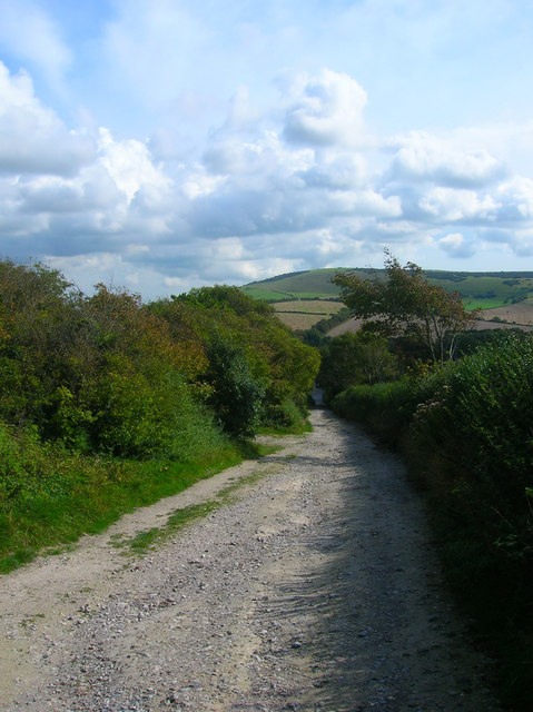
Image: © Simon Carey Taken: 13 Sep 2008
Heading down from the Downs towards the village of Alfriston and the Cuckmere valley. Windover Hill is on the far side of the valley.
Images are licensed for reuse under creativecommons.org/licenses/by-sa/2.0
Image Location
Latitude
50.806084
Longitude
0.150904