The Broadway
Introduction
The photograph on this page of The Broadway by Simon Carey as part of the Geograph project.
The Geograph project started in 2005 with the aim of publishing, organising and preserving representative images for every square kilometre of Great Britain, Ireland and the Isle of Man.

There are currently over 7.5m images from over 14,400 individuals and you can help contribute to the project by visiting https://www.geograph.org.uk
The Broadway
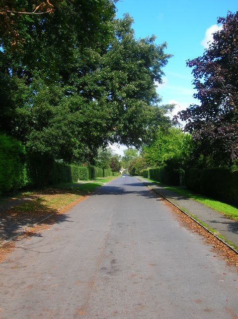
Image: © Simon Carey Taken: 13 Sep 2008
Runs from Kings Ride to North Road and is the residential part of the village. Taken from the junction with Deans Road.
Images are licensed for reuse under creativecommons.org/licenses/by-sa/2.0
Image Location
Latitude
50.808693
Longitude
0.150882