Winton Street
Introduction
The photograph on this page of Winton Street by Simon Carey as part of the Geograph project.
The Geograph project started in 2005 with the aim of publishing, organising and preserving representative images for every square kilometre of Great Britain, Ireland and the Isle of Man.

There are currently over 7.5m images from over 14,400 individuals and you can help contribute to the project by visiting https://www.geograph.org.uk
Winton Street
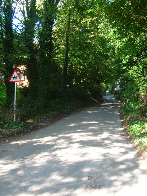
Image: © Simon Carey Taken: 13 Sep 2008
Small country lane that runs west to The Sanctuary before meeting West Street and heading back to Alfriston. The lane was once the main street of the medieval settlement of Winton which shrank in size prior to 1500. After that the lane was used as a link to the main Lewes-Alfriston road which ran along West Street then on to Comp Barn and beyond. In 1752 the Glyndebridge Turnpike Trust was set up to provide a route between Lewes and Eastbourne and used this lane as part of the route for coaches not stopping in Alfriston. This lasted until 1792 when the turnpike was rerouted via Bo Peep Gate towards Arlington and Swines Hill, now Polegate. The lane returned to being a local access lane rather than a main through route.
Images are licensed for reuse under creativecommons.org/licenses/by-sa/2.0
Image Location
Latitude
50.813597
Longitude
0.158064