Residential development, Warminster
Introduction
The photograph on this page of Residential development, Warminster by Brian Robert Marshall as part of the Geograph project.
The Geograph project started in 2005 with the aim of publishing, organising and preserving representative images for every square kilometre of Great Britain, Ireland and the Isle of Man.

There are currently over 7.5m images from over 14,400 individuals and you can help contribute to the project by visiting https://www.geograph.org.uk
Residential development, Warminster
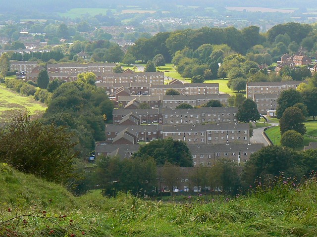
Image: © Brian Robert Marshall Taken: 13 Sep 2008
The properties are used by military personnel and their families. The small estate extends into two squares, this one and ST8845.
Images are licensed for reuse under creativecommons.org/licenses/by-sa/2.0
Image Location


Leaflet Map data © OpenStreetMap
Latitude
51.21049
Longitude
-2.156706