Ffynnon Bedr
Introduction
The photograph on this page of Ffynnon Bedr by Natasha Ceridwen de Chroustchoff as part of the Geograph project.
The Geograph project started in 2005 with the aim of publishing, organising and preserving representative images for every square kilometre of Great Britain, Ireland and the Isle of Man.

There are currently over 7.5m images from over 14,400 individuals and you can help contribute to the project by visiting https://www.geograph.org.uk
Ffynnon Bedr
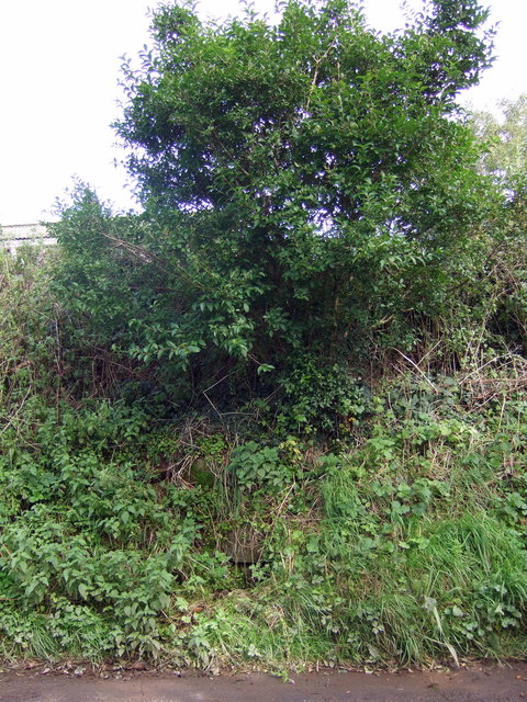
Image: © Natasha Ceridwen de Chroustchoff Taken: 12 Sep 2008
There is nothing to attract the eye here on the bank near Ffynnon Bedr farm along the road between Letterston and Little Newcastle but the gurgle of water catches the ear: it appears to be the overgrown site, or supply, of the ancient holy well of St Peter (one of several in the vicinity). On examination there seems to be some sort of stone construction which is choked with weeds; the spring then travels under the road and emerges below but it was not possible to access that.
Images are licensed for reuse under creativecommons.org/licenses/by-sa/2.0
Image Location


Leaflet Map data © OpenStreetMap
Latitude
51.927458
Longitude
-4.960415