Skyber Farm entrance
Introduction
The photograph on this page of Skyber Farm entrance by Natasha Ceridwen de Chroustchoff as part of the Geograph project.
The Geograph project started in 2005 with the aim of publishing, organising and preserving representative images for every square kilometre of Great Britain, Ireland and the Isle of Man.

There are currently over 7.5m images from over 14,400 individuals and you can help contribute to the project by visiting https://www.geograph.org.uk
Skyber Farm entrance
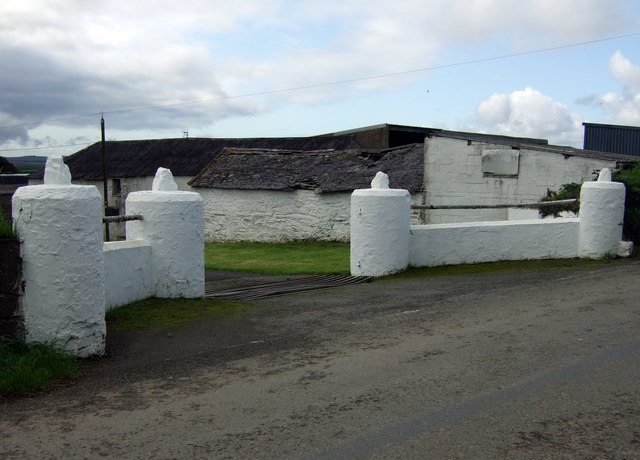
Image: © Natasha Ceridwen de Chroustchoff Taken: 12 Sep 2008
The name is a corruption of ysgubor, meaning barn. We are on the Landsker line on the edge of the 'Englishry' here.
Images are licensed for reuse under creativecommons.org/licenses/by-sa/2.0
Image Location


Leaflet Map data © OpenStreetMap
Latitude
51.927708
Longitude
-4.964796