Lane to Loscombe
Introduction
The photograph on this page of Lane to Loscombe by Ian Capper as part of the Geograph project.
The Geograph project started in 2005 with the aim of publishing, organising and preserving representative images for every square kilometre of Great Britain, Ireland and the Isle of Man.

There are currently over 7.5m images from over 14,400 individuals and you can help contribute to the project by visiting https://www.geograph.org.uk
Lane to Loscombe
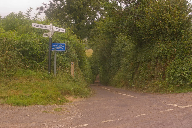
Image: © Ian Capper Taken: 18 Jul 2008
This is the south end of the lane in Image It's not just the narrow width of the road that's the problem for HGVs (or indeed any vehicle) - there's also the lack of passing places for long stretches, due to the sunken nature of the lane for much of its length (see Image for example).
Images are licensed for reuse under creativecommons.org/licenses/by-sa/2.0
Image Location


Leaflet Map data © OpenStreetMap
Latitude
50.771402
Longitude
-2.711281