Turnstile at the top of the steps leading to Tayne field
Introduction
The photograph on this page of Turnstile at the top of the steps leading to Tayne field by Nick Smith as part of the Geograph project.
The Geograph project started in 2005 with the aim of publishing, organising and preserving representative images for every square kilometre of Great Britain, Ireland and the Isle of Man.

There are currently over 7.5m images from over 14,400 individuals and you can help contribute to the project by visiting https://www.geograph.org.uk
Turnstile at the top of the steps leading to Tayne field
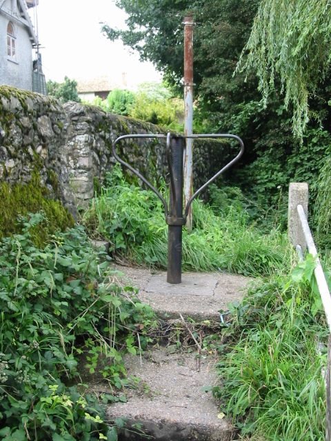
Image: © Nick Smith Taken: 6 Sep 2008
It isn't obvious what the purpose of the turnstile is, there appears to be enough room to get a bicycle or even small motorcycle through the gap.
Images are licensed for reuse under creativecommons.org/licenses/by-sa/2.0
Image Location
Latitude
51.126104
Longitude
1.088622