Sluice gate
Introduction
The photograph on this page of Sluice gate by jeff collins as part of the Geograph project.
The Geograph project started in 2005 with the aim of publishing, organising and preserving representative images for every square kilometre of Great Britain, Ireland and the Isle of Man.

There are currently over 7.5m images from over 14,400 individuals and you can help contribute to the project by visiting https://www.geograph.org.uk
Sluice gate
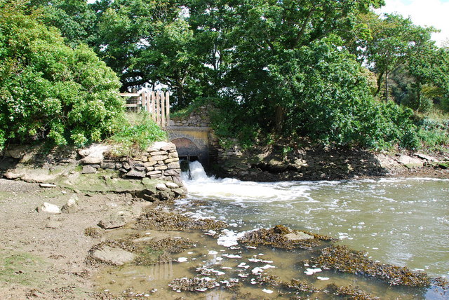
Image: © jeff collins Taken: 7 Sep 2008
This is the water outfall from the Fishpond just over the hedge,above this point is not tidal.
Images are licensed for reuse under creativecommons.org/licenses/by-sa/2.0
Image Location


Leaflet Map data © OpenStreetMap
Latitude
50.342037
Longitude
-4.032644