Leaves on the line
Introduction
The photograph on this page of Leaves on the line by A-M-Jervis as part of the Geograph project.
The Geograph project started in 2005 with the aim of publishing, organising and preserving representative images for every square kilometre of Great Britain, Ireland and the Isle of Man.

There are currently over 7.5m images from over 14,400 individuals and you can help contribute to the project by visiting https://www.geograph.org.uk
Leaves on the line
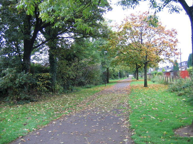
Image: © A-M-Jervis Taken: 13 Oct 2007
In the 1960s the former Caledonian Railway route between Glasgow and Dumbarton was closed to passengers and the roughly parallel former North British Railway route was electrified. At Dumbuck, east of Dumbarton, British Railways put in a new connection between the two routes and it was the North British line that was closed and the Caledonian route through Dumbarton East station that was electrified. Most of this section of the North British route was eventually converted into a footpath and cycleway and is seen here behind Geils Avenue, about a mile east of Dumbarton.
Images are licensed for reuse under creativecommons.org/licenses/by-sa/2.0
Image Location
Latitude
55.940153
Longitude
-4.542308