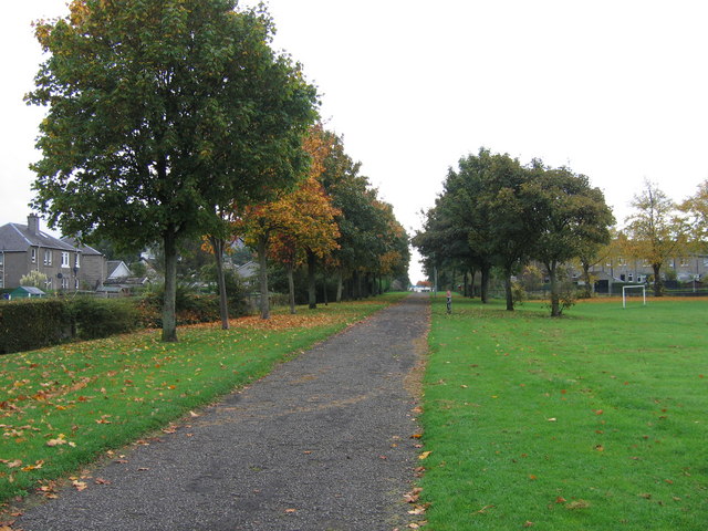
A Dumbarton cycletrack
Introduction
The photograph on this page of A Dumbarton cycletrack by A-M-Jervis as part of the Geograph project.
The Geograph project started in 2005 with the aim of publishing, organising and preserving representative images for every square kilometre of Great Britain, Ireland and the Isle of Man.
There are currently over 7.5m images from over 14,400 individuals and you can help contribute to the project by visiting https://www.geograph.org.uk

Image: © A-M-Jervis Taken: 13 Oct 2007
In the 19th and early 20th century Britain's private railway companies competed vigorously but could also co-operate with one another. Hence the Caledonian and North British Railways both owned separate lines between Glasgow and Dumbarton, serving the same intermediate towns, but then jointly owned the line onward to Balloch for Loch Lomond. By the middle of the 20th century these alternative routes were described as duplication and the Caledonian route, generally keeping closer to the riverside and the Clyde shipyards, was closed. At about the same time the former North British route was electrified but west of Bowling, where the two lines came close together, a new connection was put in by British Railways and it was a section of the Caledonian line through Dumbarton East station that was electrified and the North British line that was closed. Since then the latter has become a footpath and cycleway and is seen here crossing playing fields behind Crosslet Road, a short distance east of where the joint Dumbarton and Balloch line had started.

