North Healey
Introduction
The photograph on this page of North Healey by Antonia as part of the Geograph project.
The Geograph project started in 2005 with the aim of publishing, organising and preserving representative images for every square kilometre of Great Britain, Ireland and the Isle of Man.

There are currently over 7.5m images from over 14,400 individuals and you can help contribute to the project by visiting https://www.geograph.org.uk
North Healey
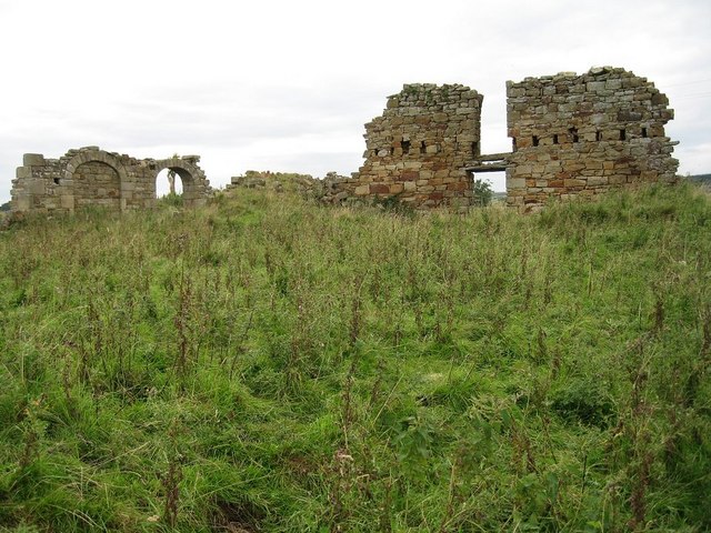
Image: © Antonia Taken: 11 Sep 2008
Ruins of a farmstead called North Healey, now ruinous, may be derived from a bastle. Source: Dodds, JF 1988 Bastions and Belligerents: Medieval Strongholds in Northumberland.
Images are licensed for reuse under creativecommons.org/licenses/by-sa/2.0
Image Location


Leaflet Map data © OpenStreetMap
Latitude
55.223422
Longitude
-1.875314