Watford: River Colne railway viaduct
Introduction
The photograph on this page of Watford: River Colne railway viaduct by Nigel Cox as part of the Geograph project.
The Geograph project started in 2005 with the aim of publishing, organising and preserving representative images for every square kilometre of Great Britain, Ireland and the Isle of Man.

There are currently over 7.5m images from over 14,400 individuals and you can help contribute to the project by visiting https://www.geograph.org.uk
Watford: River Colne railway viaduct
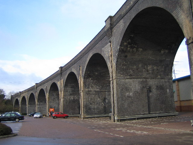
Image: © Nigel Cox Taken: 27 Dec 2005
The viaduct was originally built, and is still in use, to carry local trains from Bushey to Watford High Street stations over the valley of the River Colne. The diverted loop of Watford's Lower High Street now passes through two of the arches on the north side of the river while the remaining arches straddle the car park of the unsurprisingly named Arches Retail Park.
Images are licensed for reuse under creativecommons.org/licenses/by-sa/2.0
Image Location


Leaflet Map data © OpenStreetMap
Latitude
51.647251
Longitude
-0.389864