Path to Deffer Wood
Introduction
The photograph on this page of Path to Deffer Wood by Nigel Homer as part of the Geograph project.
The Geograph project started in 2005 with the aim of publishing, organising and preserving representative images for every square kilometre of Great Britain, Ireland and the Isle of Man.

There are currently over 7.5m images from over 14,400 individuals and you can help contribute to the project by visiting https://www.geograph.org.uk
Path to Deffer Wood
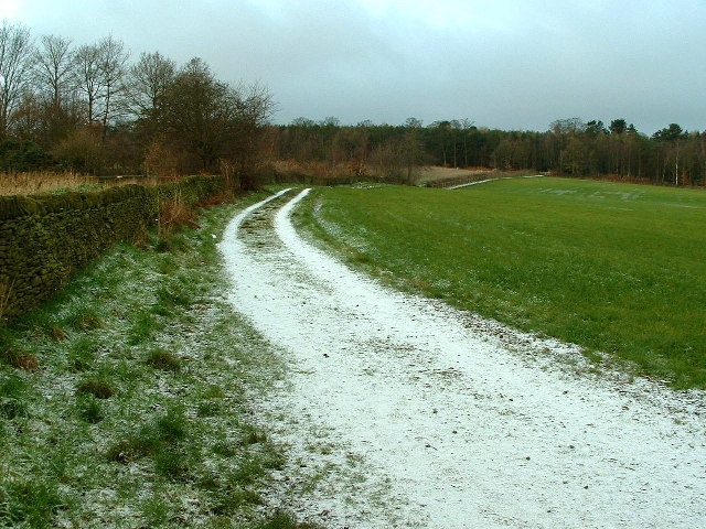
Image: © Nigel Homer Taken: 26 Dec 2005
Deffer Wood - one of the largest expanses of (working) coniferous plantation in the area. In bulk, mature woodland, it has several areas which have been clear-felled and replanted producing areas of uneven age woodland.
Images are licensed for reuse under creativecommons.org/licenses/by-sa/2.0
Image Location
Latitude
53.573333
Longitude
-1.599779