Houses at Crossgates
Introduction
The photograph on this page of Houses at Crossgates by Chris Yeates as part of the Geograph project.
The Geograph project started in 2005 with the aim of publishing, organising and preserving representative images for every square kilometre of Great Britain, Ireland and the Isle of Man.

There are currently over 7.5m images from over 14,400 individuals and you can help contribute to the project by visiting https://www.geograph.org.uk
Houses at Crossgates
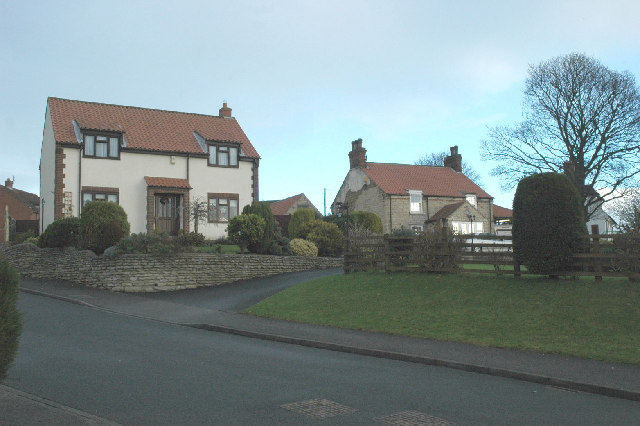
Image: © Chris Yeates Taken: 26 Dec 2005
The house on the right - a converted farmhouse, probably built with stone from former quarries nearby - is the only one to appear on the 1940s OS map, It is now surrounded by modern housing.
Images are licensed for reuse under creativecommons.org/licenses/by-sa/2.0
Image Location


Leaflet Map data © OpenStreetMap
Latitude
54.241382
Longitude
-0.424065