Crossways Cottages
Introduction
The photograph on this page of Crossways Cottages by Simon Carey as part of the Geograph project.
The Geograph project started in 2005 with the aim of publishing, organising and preserving representative images for every square kilometre of Great Britain, Ireland and the Isle of Man.

There are currently over 7.5m images from over 14,400 individuals and you can help contribute to the project by visiting https://www.geograph.org.uk
Crossways Cottages
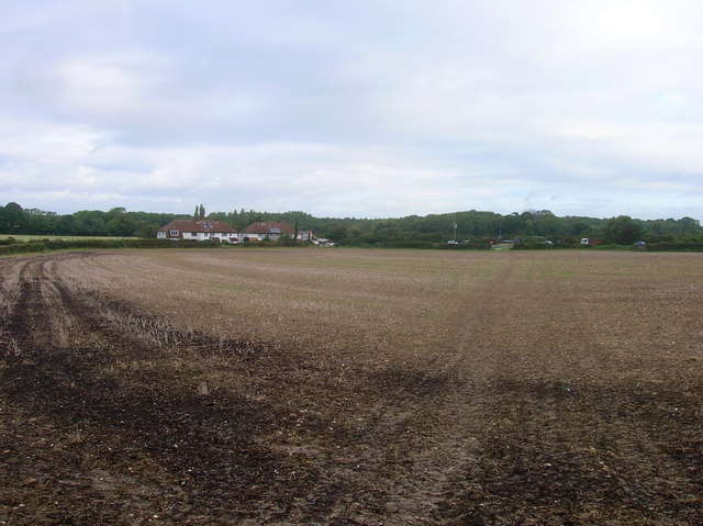
Image: © Simon Carey Taken: 10 Sep 2008
On the lane to Poynings next to the roundabout. The cottages were built between the two world wars. Taken from the footpath that links Poynings to Newtimber.
Images are licensed for reuse under creativecommons.org/licenses/by-sa/2.0
Image Location
Latitude
50.90039
Longitude
-0.203148