Poynings from Newtimber Hill
Introduction
The photograph on this page of Poynings from Newtimber Hill by Simon Carey as part of the Geograph project.
The Geograph project started in 2005 with the aim of publishing, organising and preserving representative images for every square kilometre of Great Britain, Ireland and the Isle of Man.

There are currently over 7.5m images from over 14,400 individuals and you can help contribute to the project by visiting https://www.geograph.org.uk
Poynings from Newtimber Hill
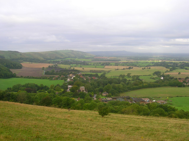
Image: © Simon Carey Taken: 10 Sep 2008
The church and Poynings Manor Farm below are in this square though the southern line of the grid square crosses the village street just to the south west of the church. Beyond that is the northern escarpment of the Downs which includes Fulking Hill, Edburton Hill, Truleigh Hill and Tottington Mount.
Images are licensed for reuse under creativecommons.org/licenses/by-sa/2.0
Image Location
Latitude
50.894283
Longitude
-0.203668