Dovedale Close
Introduction
The photograph on this page of Dovedale Close by Roger A Smith as part of the Geograph project.
The Geograph project started in 2005 with the aim of publishing, organising and preserving representative images for every square kilometre of Great Britain, Ireland and the Isle of Man.

There are currently over 7.5m images from over 14,400 individuals and you can help contribute to the project by visiting https://www.geograph.org.uk
Dovedale Close
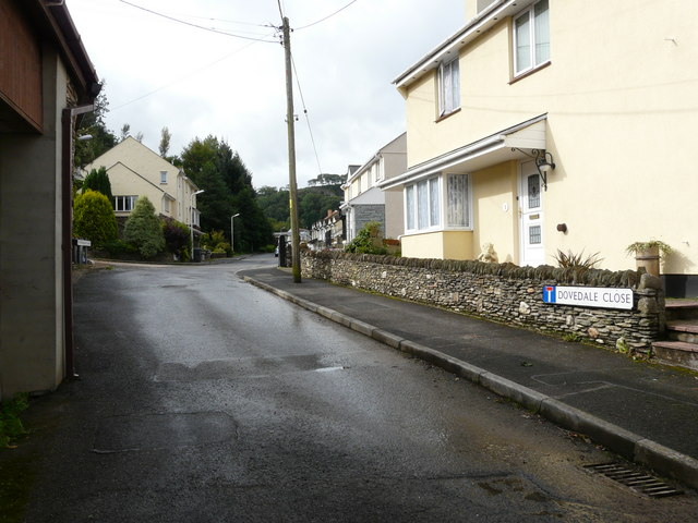
Image: © Roger A Smith Taken: 10 Sep 2008
The sign on the right says Dovedale Close but the sign further up the same road on the left says Witheridge Place.
Images are licensed for reuse under creativecommons.org/licenses/by-sa/2.0
Image Location


Leaflet Map data © OpenStreetMap
Latitude
51.206303
Longitude
-4.100537