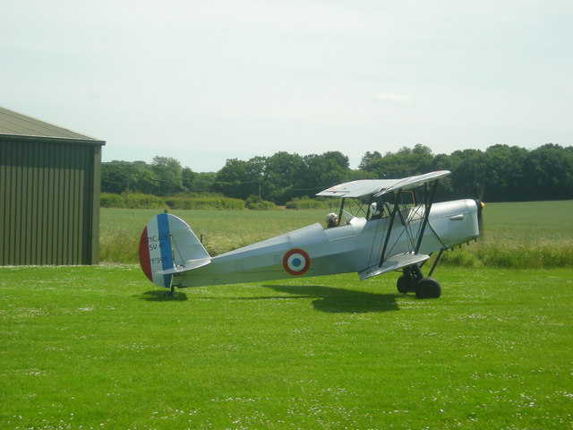
Taxiing at Wellcross Grange
Introduction
The photograph on this page of Taxiing at Wellcross Grange by Dan Gregory as part of the Geograph project.
The Geograph project started in 2005 with the aim of publishing, organising and preserving representative images for every square kilometre of Great Britain, Ireland and the Isle of Man.
There are currently over 7.5m images from over 14,400 individuals and you can help contribute to the project by visiting https://www.geograph.org.uk

Image: © Dan Gregory Taken: 8 Jul 2008
A biplane heads out before take-off at Wellcross Grange Landing Strip in the East of this square. The footpath here crosses the landing strip from where the photographer is standing and runs alongside the hangar to the trees hiding Mill Lane (a public bridleway) in the distance. The photographer is informed that this is an SNCAN SV4, a French-built version of the Belgian Stampe-Vertongen SV-4. It was one of 700 such 'planes built by SNCAN after the war for use by flying schools and the French military.

