The Brewery Tap
Introduction
The photograph on this page of The Brewery Tap by Martin Addison as part of the Geograph project.
The Geograph project started in 2005 with the aim of publishing, organising and preserving representative images for every square kilometre of Great Britain, Ireland and the Isle of Man.

There are currently over 7.5m images from over 14,400 individuals and you can help contribute to the project by visiting https://www.geograph.org.uk
The Brewery Tap
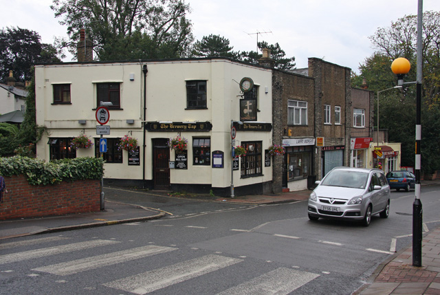
Image: © Martin Addison Taken: 9 Sep 2008
Located on the corner of Kings Road and Primrose Hill, on the end of a small parade of shops.
Images are licensed for reuse under creativecommons.org/licenses/by-sa/2.0
Image Location
Latitude
51.616794
Longitude
0.299675