Union Bridge
Introduction
The photograph on this page of Union Bridge by Andrew Wood as part of the Geograph project.
The Geograph project started in 2005 with the aim of publishing, organising and preserving representative images for every square kilometre of Great Britain, Ireland and the Isle of Man.

There are currently over 7.5m images from over 14,400 individuals and you can help contribute to the project by visiting https://www.geograph.org.uk
Union Bridge
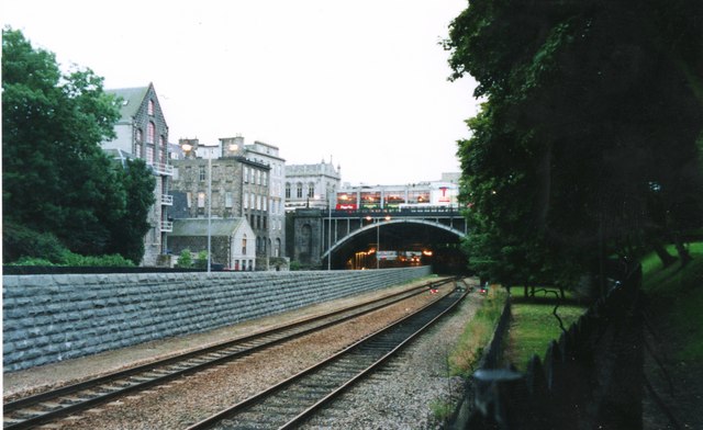
Image: © Andrew Wood Taken: 2 Sep 1986
Taken from the lower side of Union Terrace Gardens the Union Bridge spanning the Denburn valley. Now Culverted the Denburn provides the path for the northern railway entry to the station beyond.
Images are licensed for reuse under creativecommons.org/licenses/by-sa/2.0
Image Location
Latitude
57.145659
Longitude
-2.10112