Meadow and houses, Mortimer
Introduction
The photograph on this page of Meadow and houses, Mortimer by Andrew Smith as part of the Geograph project.
The Geograph project started in 2005 with the aim of publishing, organising and preserving representative images for every square kilometre of Great Britain, Ireland and the Isle of Man.

There are currently over 7.5m images from over 14,400 individuals and you can help contribute to the project by visiting https://www.geograph.org.uk
Meadow and houses, Mortimer
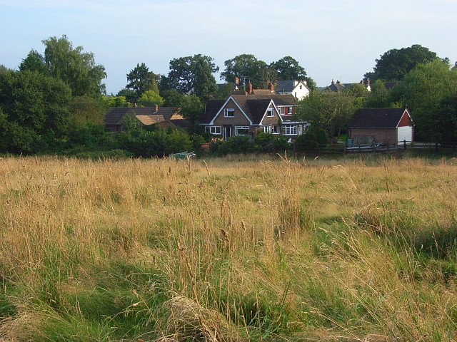
Image: © Andrew Smith Taken: 30 Aug 2008
Viewed from the footpath below Wheat's Farm. notwithstanding the age of the houses here, this is generally speaking, the older part of Mortimer.
Images are licensed for reuse under creativecommons.org/licenses/by-sa/2.0
Image Location
Latitude
51.37522
Longitude
-1.045975