Doctor's Alley
Introduction
The photograph on this page of Doctor's Alley by M J Richardson as part of the Geograph project.
The Geograph project started in 2005 with the aim of publishing, organising and preserving representative images for every square kilometre of Great Britain, Ireland and the Isle of Man.

There are currently over 7.5m images from over 14,400 individuals and you can help contribute to the project by visiting https://www.geograph.org.uk
Doctor's Alley
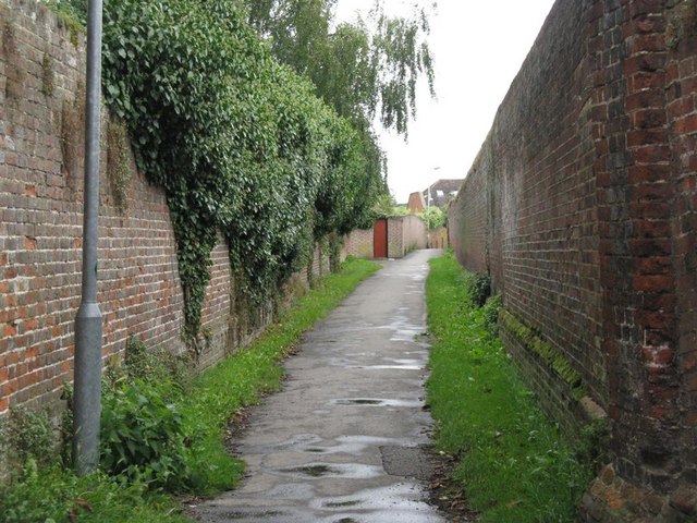
Image: © M J Richardson Taken: 4 Sep 2008
A cut through from the Common to the High Street. So-called because just before one got to the High Street a gate in the wall led into Dr Totton's surgery - a long time ago. He is now remembered through at least one street name in the village.
Images are licensed for reuse under creativecommons.org/licenses/by-sa/2.0
Image Location


Leaflet Map data © OpenStreetMap
Latitude
51.798127
Longitude
-0.395807