North Common Road
Introduction
The photograph on this page of North Common Road by M J Richardson as part of the Geograph project.
The Geograph project started in 2005 with the aim of publishing, organising and preserving representative images for every square kilometre of Great Britain, Ireland and the Isle of Man.

There are currently over 7.5m images from over 14,400 individuals and you can help contribute to the project by visiting https://www.geograph.org.uk
North Common Road
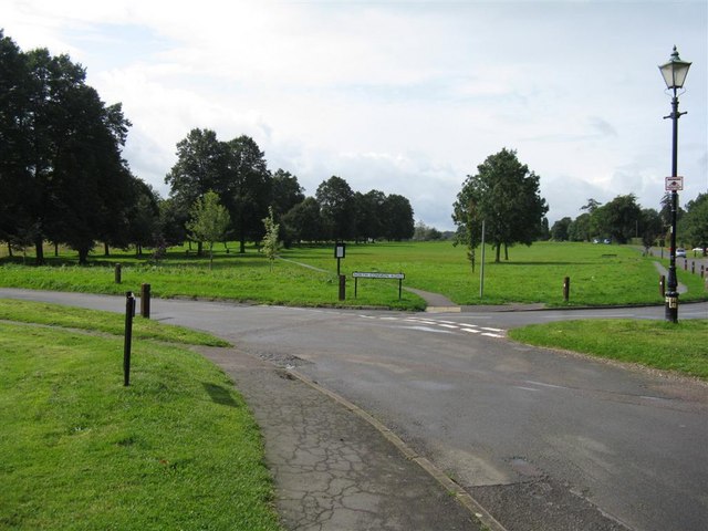
Image: © M J Richardson Taken: 4 Sep 2008
A view south-westwards across Redbourn Common from the most northerly part. A large common [30 acres = 12 ha] of semi-natural grassland, bisected from here to Church End by an avenue of lime trees, used as school playground, cricket and football fields, village open space, and once upon a time a meeting place for the hunt.
Images are licensed for reuse under creativecommons.org/licenses/by-sa/2.0
Image Location
Latitude
51.796469
Longitude
-0.399492