Ver Road
Introduction
The photograph on this page of Ver Road by M J Richardson as part of the Geograph project.
The Geograph project started in 2005 with the aim of publishing, organising and preserving representative images for every square kilometre of Great Britain, Ireland and the Isle of Man.

There are currently over 7.5m images from over 14,400 individuals and you can help contribute to the project by visiting https://www.geograph.org.uk
Ver Road
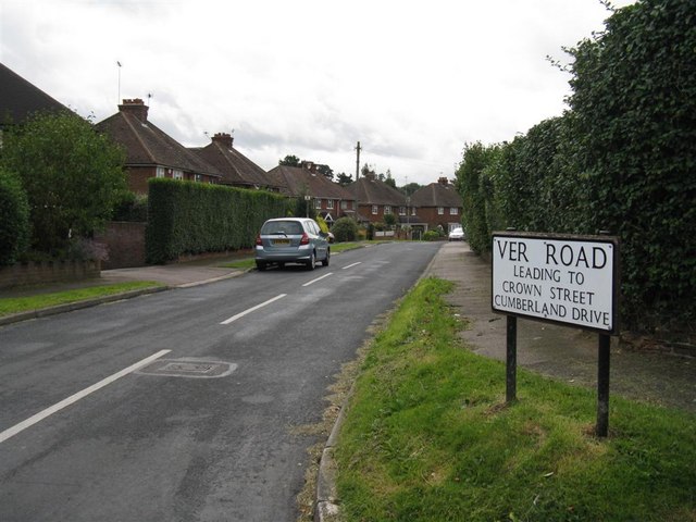
Image: © M J Richardson Taken: 4 Sep 2008
This used to be a cul-de-sac, but a house or two must have been demolished to allow access to more housing development behind Harpenden Lane. It gets its name from the River Ver, which is just a little to the east, which goes on to St Albans, hence the Roman name for it - Verulamium.
Images are licensed for reuse under creativecommons.org/licenses/by-sa/2.0
Image Location


Leaflet Map data © OpenStreetMap
Latitude
51.801207
Longitude
-0.390912