Marcham Priory from Mill Road
Introduction
The photograph on this page of Marcham Priory from Mill Road by Dave Dunford as part of the Geograph project.
The Geograph project started in 2005 with the aim of publishing, organising and preserving representative images for every square kilometre of Great Britain, Ireland and the Isle of Man.

There are currently over 7.5m images from over 14,400 individuals and you can help contribute to the project by visiting https://www.geograph.org.uk
Marcham Priory from Mill Road
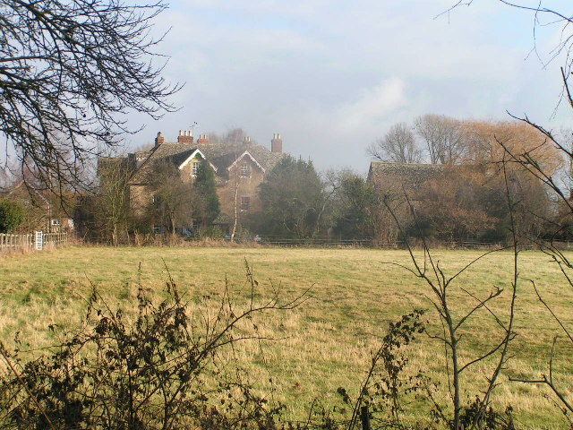
Image: © Dave Dunford Taken: 25 Dec 2005
Although the large Victorian house (left) is also known as The Priory, the actual priory building is to the right. Mid-day, Christmas Day.
Images are licensed for reuse under creativecommons.org/licenses/by-sa/2.0
Image Location
Latitude
51.664537
Longitude
-1.342097