Old Tree, Bluebell Hollow, Walton Fields Estate
Introduction
The photograph on this page of Old Tree, Bluebell Hollow, Walton Fields Estate by Tim Marshall as part of the Geograph project.
The Geograph project started in 2005 with the aim of publishing, organising and preserving representative images for every square kilometre of Great Britain, Ireland and the Isle of Man.

There are currently over 7.5m images from over 14,400 individuals and you can help contribute to the project by visiting https://www.geograph.org.uk
Old Tree, Bluebell Hollow, Walton Fields Estate
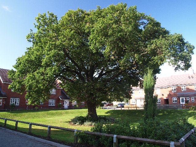
Image: © Tim Marshall Taken: 3 Sep 2008
View of old tree,off Bluebell Hollow, obviously preserved when the Walton Fields Estate was built.
Images are licensed for reuse under creativecommons.org/licenses/by-sa/2.0
Image Location


Leaflet Map data © OpenStreetMap
Latitude
52.788894
Longitude
-2.065943