Red Barn, Honingham
Introduction
The photograph on this page of Red Barn, Honingham by matthew wiskin as part of the Geograph project.
The Geograph project started in 2005 with the aim of publishing, organising and preserving representative images for every square kilometre of Great Britain, Ireland and the Isle of Man.

There are currently over 7.5m images from over 14,400 individuals and you can help contribute to the project by visiting https://www.geograph.org.uk
Red Barn, Honingham
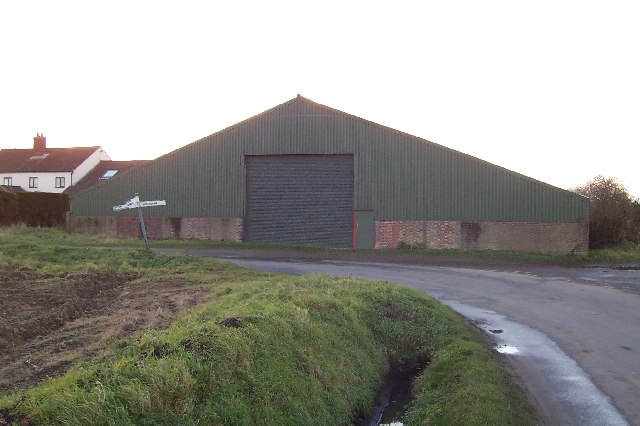
Image: © matthew wiskin Taken: 26 Dec 2005
The only buildings in this square km. The barn is green now, so either must have been painted or on the site of the Red Barn.
Images are licensed for reuse under creativecommons.org/licenses/by-sa/2.0
Image Location


Leaflet Map data © OpenStreetMap
Latitude
52.649059
Longitude
1.129552