Lorton Vale
Introduction
The photograph on this page of Lorton Vale by Michael Graham as part of the Geograph project.
The Geograph project started in 2005 with the aim of publishing, organising and preserving representative images for every square kilometre of Great Britain, Ireland and the Isle of Man.

There are currently over 7.5m images from over 14,400 individuals and you can help contribute to the project by visiting https://www.geograph.org.uk
Lorton Vale
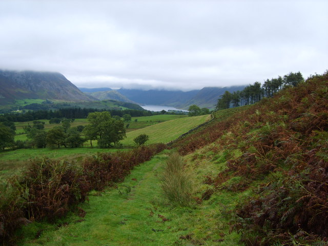
Image: © Michael Graham Taken: 7 Sep 2008
Valley of the River Cocker. Looking back towards Crummock Water from the Drove Road under Sourfoot Fell
Images are licensed for reuse under creativecommons.org/licenses/by-sa/2.0
Image Location
Latitude
54.601161
Longitude
-3.329503