Y L?n Goed
Introduction
The photograph on this page of Y L?n Goed by Alan Fryer as part of the Geograph project.
The Geograph project started in 2005 with the aim of publishing, organising and preserving representative images for every square kilometre of Great Britain, Ireland and the Isle of Man.

There are currently over 7.5m images from over 14,400 individuals and you can help contribute to the project by visiting https://www.geograph.org.uk
Y L?n Goed
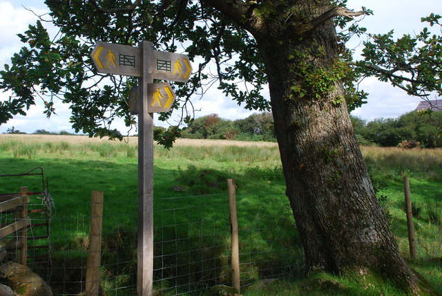
Image: © Alan Fryer Taken: 8 Sep 2008
At this point Lôn Goed is crossed by the track towards Chwilog Fawr, to the left, from Ysgubor Hen, behind the photographer. The two signs left and right are for Lôn Goed and bear the new waymark, the gate. See Image
Images are licensed for reuse under creativecommons.org/licenses/by-sa/2.0
Image Location
Latitude
52.921548
Longitude
-4.303726