Alton Business Park
Introduction
The photograph on this page of Alton Business Park by Jonathan Billinger as part of the Geograph project.
The Geograph project started in 2005 with the aim of publishing, organising and preserving representative images for every square kilometre of Great Britain, Ireland and the Isle of Man.

There are currently over 7.5m images from over 14,400 individuals and you can help contribute to the project by visiting https://www.geograph.org.uk
Alton Business Park
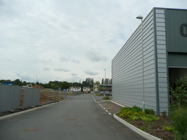
Image: © Jonathan Billinger Taken: 8 Sep 2008
Some newly-completed units to the right, and development land to the left. Looking west-north-west towards the spire of St. Mary's church in the distance.
Images are licensed for reuse under creativecommons.org/licenses/by-sa/2.0
Image Location


Leaflet Map data © OpenStreetMap
Latitude
51.911512
Longitude
-2.573749