Swarkestone Causeway - south end
Introduction
The photograph on this page of Swarkestone Causeway - south end by Alan Murray-Rust as part of the Geograph project.
The Geograph project started in 2005 with the aim of publishing, organising and preserving representative images for every square kilometre of Great Britain, Ireland and the Isle of Man.

There are currently over 7.5m images from over 14,400 individuals and you can help contribute to the project by visiting https://www.geograph.org.uk
Swarkestone Causeway - south end
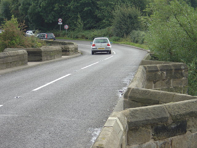
Image: © Alan Murray-Rust Taken: 7 Sep 2008
The tops of the cutwaters provide useful pedestrian refuges at this end; for most of its length there aren't any refuges, and little or nothing in the way of a footway so doing the whole length on foot would be an interesting prospect, given the amount of traffic.
Images are licensed for reuse under creativecommons.org/licenses/by-sa/2.0
Image Location
Latitude
52.84373
Longitude
-1.449287