The Wanney Line
Introduction
The photograph on this page of The Wanney Line by Antonia as part of the Geograph project.
The Geograph project started in 2005 with the aim of publishing, organising and preserving representative images for every square kilometre of Great Britain, Ireland and the Isle of Man.

There are currently over 7.5m images from over 14,400 individuals and you can help contribute to the project by visiting https://www.geograph.org.uk
The Wanney Line
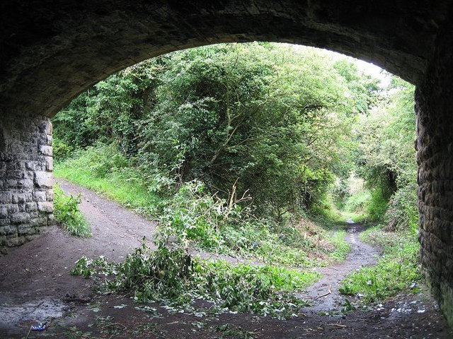
Image: © Antonia Taken: 16 Jul 2007
The old trackbed of the Wanney railway line which ran between Morpeth and Scotsgap, now overgrown with the encroaching woodland. The line finally closed in September 1966.
Images are licensed for reuse under creativecommons.org/licenses/by-sa/2.0
Image Location
Latitude
55.153769
Longitude
-1.709349