Verwood: start of Ringwood Road
Introduction
The photograph on this page of Verwood: start of Ringwood Road by Chris Downer as part of the Geograph project.
The Geograph project started in 2005 with the aim of publishing, organising and preserving representative images for every square kilometre of Great Britain, Ireland and the Isle of Man.

There are currently over 7.5m images from over 14,400 individuals and you can help contribute to the project by visiting https://www.geograph.org.uk
Verwood: start of Ringwood Road
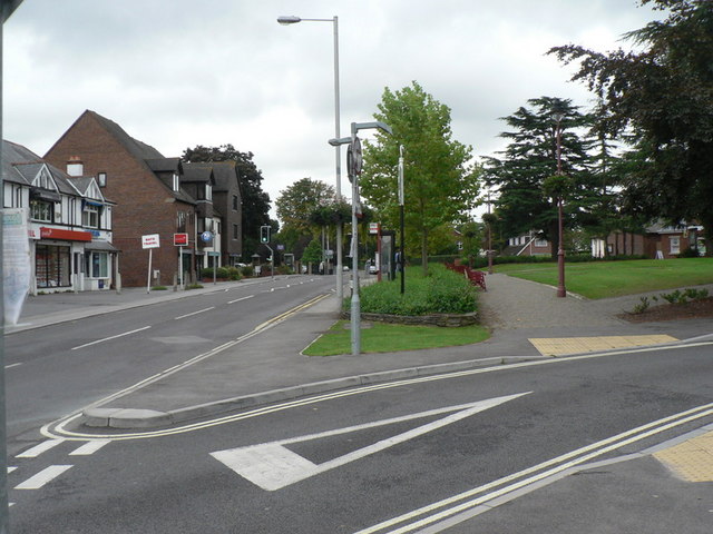
Image: © Chris Downer Taken: 7 Sep 2008
Looking east along Ringwood Road from Image, by the Image It has changed much since this picture: Image was taken; see The Green link above for description of the changes.
Images are licensed for reuse under creativecommons.org/licenses/by-sa/2.0
Image Location


Leaflet Map data © OpenStreetMap
Latitude
50.881689
Longitude
-1.878698