Verwood: Spar
Introduction
The photograph on this page of Verwood: Spar by Chris Downer as part of the Geograph project.
The Geograph project started in 2005 with the aim of publishing, organising and preserving representative images for every square kilometre of Great Britain, Ireland and the Isle of Man.

There are currently over 7.5m images from over 14,400 individuals and you can help contribute to the project by visiting https://www.geograph.org.uk
Verwood: Spar
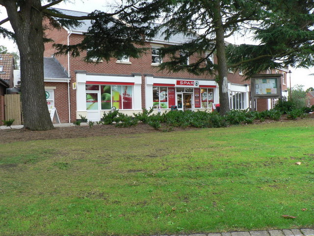
Image: © Chris Downer Taken: 7 Sep 2008
The Spar on Manor Way, which has been pedestrianised in recent years – see Image
Images are licensed for reuse under creativecommons.org/licenses/by-sa/2.0
Image Location
Latitude
50.881149
Longitude
-1.878273