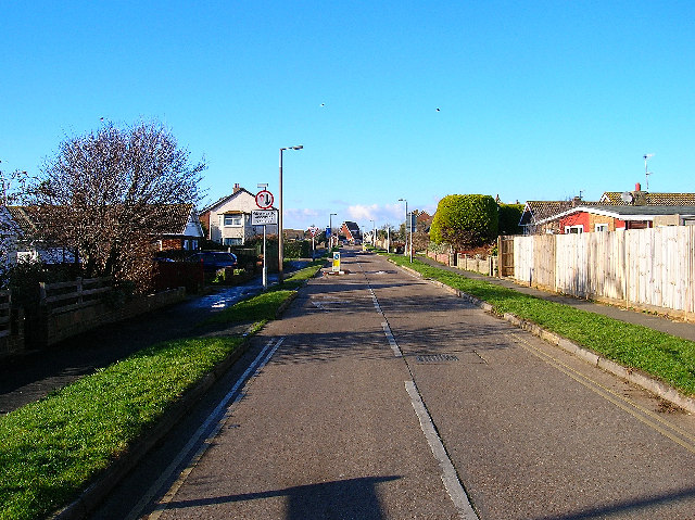
Balcombe Road, Peacehaven
Introduction
The photograph on this page of Balcombe Road, Peacehaven by Simon Carey as part of the Geograph project.
The Geograph project started in 2005 with the aim of publishing, organising and preserving representative images for every square kilometre of Great Britain, Ireland and the Isle of Man.
There are currently over 7.5m images from over 14,400 individuals and you can help contribute to the project by visiting https://www.geograph.org.uk

Image: © Simon Carey Taken: 25 Dec 2005
Looking west from the junction with Hoddern Avenue near the school. Peacehaven was one of the reasons tough planning laws were introduced in 1947. Prior to 1919 this view would have been pasture farming on downland, then a mixture of World War One, cheap competition from abroad (particularly sheep farming) and rising death duties put many farmers out of business. The usual salvation was to sell to property developers, one being G.W.Neville who bought all the land now called Peacehaven and began selling plots particularly to returning soldiers. Neville made his money from building towns in America and this shows in the grid layout of Peacehaven. Originally called New Anzac on Sea the name was thought to be in bad taste and was renamed Peacehaven after a national competition.

