Watlington
Introduction
The photograph on this page of Watlington by Brendan and Ruth McCartney as part of the Geograph project.
The Geograph project started in 2005 with the aim of publishing, organising and preserving representative images for every square kilometre of Great Britain, Ireland and the Isle of Man.

There are currently over 7.5m images from over 14,400 individuals and you can help contribute to the project by visiting https://www.geograph.org.uk
Watlington
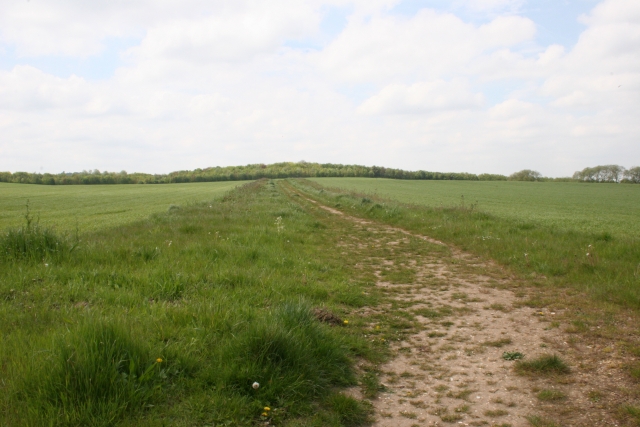
Image: © Brendan and Ruth McCartney Taken: 13 May 2005
Looking southwest from the B480 towards Cobditch Hill across Red Kite Farms, an area managed for wildlife and bio-diversity. We counted 8 Red Kites in the air together over the farm!
Images are licensed for reuse under creativecommons.org/licenses/by-sa/2.0
Image Location


Leaflet Map data © OpenStreetMap
Latitude
51.636146
Longitude
-1.011612