Weymouth - The Bandstand Pier
Introduction
The photograph on this page of Weymouth - The Bandstand Pier by Chris Talbot as part of the Geograph project.
The Geograph project started in 2005 with the aim of publishing, organising and preserving representative images for every square kilometre of Great Britain, Ireland and the Isle of Man.

There are currently over 7.5m images from over 14,400 individuals and you can help contribute to the project by visiting https://www.geograph.org.uk
Weymouth - The Bandstand Pier
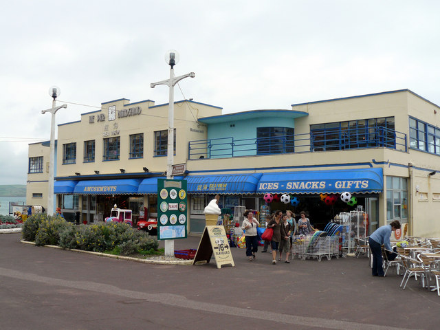
Image: © Chris Talbot Taken: 26 Aug 2008
Opening on 25th May 1939 this pier used to reach 200feet into Weymouth Bay, until 1985 when the cost of maintaining it became too much and the pier was blown up following a national competition to "push the button".
Images are licensed for reuse under creativecommons.org/licenses/by-sa/2.0
Image Location
Latitude
50.61703
Longitude
-2.45226