Footpath, St Ives Estate, Harden
Introduction
The photograph on this page of Footpath, St Ives Estate, Harden by Humphrey Bolton as part of the Geograph project.
The Geograph project started in 2005 with the aim of publishing, organising and preserving representative images for every square kilometre of Great Britain, Ireland and the Isle of Man.

There are currently over 7.5m images from over 14,400 individuals and you can help contribute to the project by visiting https://www.geograph.org.uk
Footpath, St Ives Estate, Harden
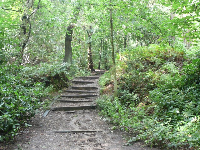
Image: © Humphrey Bolton Taken: 6 Sep 2008
Just inside the western entrance to the estate there is a car park, and from it this public footpath goes northwards through the western part of the estate, passing Lady Blantyre's Rock.
Images are licensed for reuse under creativecommons.org/licenses/by-sa/2.0
Image Location


Leaflet Map data © OpenStreetMap
Latitude
53.843575
Longitude
-1.870778