Rhymney Comprehensive School
Introduction
The photograph on this page of Rhymney Comprehensive School by Robin Drayton as part of the Geograph project.
The Geograph project started in 2005 with the aim of publishing, organising and preserving representative images for every square kilometre of Great Britain, Ireland and the Isle of Man.

There are currently over 7.5m images from over 14,400 individuals and you can help contribute to the project by visiting https://www.geograph.org.uk
Rhymney Comprehensive School
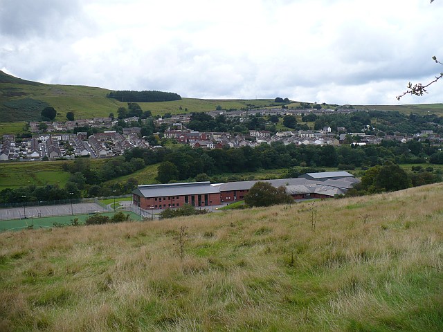
Image: © Robin Drayton Taken: 23 Aug 2008
The view from Abertysswg across the Rhymney Valley towards Pontlottyn The school has occupied this site since 1983 and serves a number of the surrounding villages.
Images are licensed for reuse under creativecommons.org/licenses/by-sa/2.0
Image Location
Latitude
51.745162
Longitude
-3.27341