No through lane, Llan Ffestiniog, 1.05pm
Introduction
The photograph on this page of No through lane, Llan Ffestiniog, 1.05pm by Barry Hunter as part of the Geograph project.
The Geograph project started in 2005 with the aim of publishing, organising and preserving representative images for every square kilometre of Great Britain, Ireland and the Isle of Man.

There are currently over 7.5m images from over 14,400 individuals and you can help contribute to the project by visiting https://www.geograph.org.uk
No through lane, Llan Ffestiniog, 1.05pm
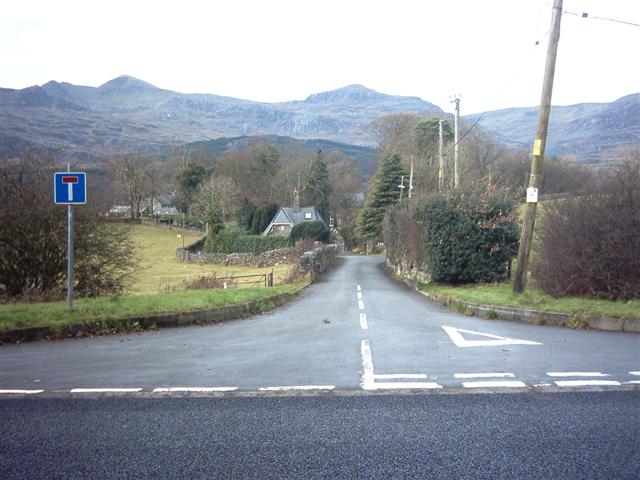
Image: © Barry Hunter Taken: 25 Dec 2005
Lane to Blaen-ddol and Cae'r blaidd guesthouse and holiday homes. In the distance is the Moelwyn Range, under the highest peak Moelwyn Mawr you can see Stwlan Dam in Image
Images are licensed for reuse under creativecommons.org/licenses/by-sa/2.0
Image Location
Latitude
52.96146
Longitude
-3.93092