River Rib at Wadesmill
Introduction
The photograph on this page of River Rib at Wadesmill by Nigel Cox as part of the Geograph project.
The Geograph project started in 2005 with the aim of publishing, organising and preserving representative images for every square kilometre of Great Britain, Ireland and the Isle of Man.

There are currently over 7.5m images from over 14,400 individuals and you can help contribute to the project by visiting https://www.geograph.org.uk
River Rib at Wadesmill
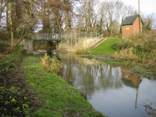
Image: © Nigel Cox Taken: 25 Nov 2007
The hut on the right houses the Environment Agency's water level and flow rate recording and telemetry equipment.
Images are licensed for reuse under creativecommons.org/licenses/by-sa/2.0
Image Location
Latitude
51.83902
Longitude
-0.027831