
Farmland, Mill Lane, Bicker, Lincs
Introduction
The photograph on this page of Farmland, Mill Lane, Bicker, Lincs by Rodney Burton as part of the Geograph project.
The Geograph project started in 2005 with the aim of publishing, organising and preserving representative images for every square kilometre of Great Britain, Ireland and the Isle of Man.

There are currently over 7.5m images from over 14,400 individuals and you can help contribute to the project by visiting https://www.geograph.org.uk
Farmland, Mill Lane, Bicker, Lincs
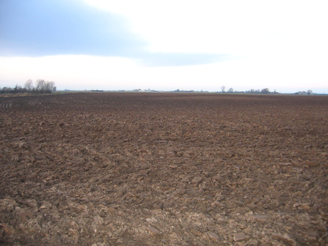
Image: © Rodney Burton Taken: 23 Dec 2005
View N from the B1181. This is one of the hilliest, not flattest, parts of the Fens; once the Bicker Haven tidal estuary, this farmland occurs on depositional banks of pale-toned silt, saltern remnants and intervening low-lying darker former creek beds. The contours on the map show these 'hills' to rise to over 5 metres above sea level.
Images are licensed for reuse under creativecommons.org/licenses/by-sa/2.0
Image Location

Latitude
52.913904
Longitude
-0.1536