Marker post on Route 17 of the National Cycle Network
Introduction
The photograph on this page of Marker post on Route 17 of the National Cycle Network by Andy Potter as part of the Geograph project.
The Geograph project started in 2005 with the aim of publishing, organising and preserving representative images for every square kilometre of Great Britain, Ireland and the Isle of Man.

There are currently over 7.5m images from over 14,400 individuals and you can help contribute to the project by visiting https://www.geograph.org.uk
Marker post on Route 17 of the National Cycle Network
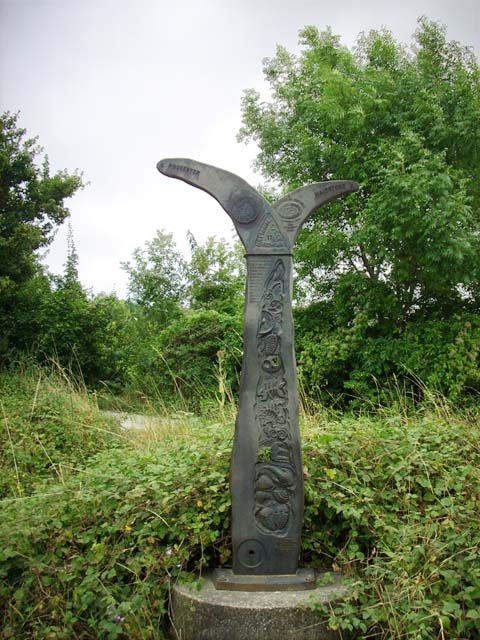
Image: © Andy Potter Taken: 31 Aug 2008
Hidden away behind the service station on the southbound A229 this extraordinary signpost has a beautiful bas-relief of the archaeology of the underlying rock.
Images are licensed for reuse under creativecommons.org/licenses/by-sa/2.0
Image Location
Latitude
51.314643
Longitude
0.511919