Road junction, Casmael/Puncheston
Introduction
The photograph on this page of Road junction, Casmael/Puncheston by Natasha Ceridwen de Chroustchoff as part of the Geograph project.
The Geograph project started in 2005 with the aim of publishing, organising and preserving representative images for every square kilometre of Great Britain, Ireland and the Isle of Man.

There are currently over 7.5m images from over 14,400 individuals and you can help contribute to the project by visiting https://www.geograph.org.uk
Road junction, Casmael/Puncheston
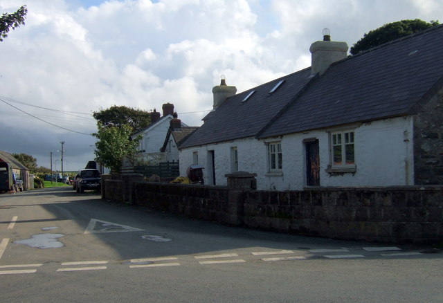
Image: © Natasha Ceridwen de Chroustchoff Taken: 4 Sep 2008
This is a nucleated village positioned at the crossing of ways and once close to the railway line that ran through the Anghof valley. It is said that the Normans who established themselves here forced the natives to abandon their scattered dwellings and move into a settlement where they could be more effectively controlled. There remain quite a number of this simple, single-storey cottages that would perhaps have once been thatched.
Images are licensed for reuse under creativecommons.org/licenses/by-sa/2.0
Image Location
Latitude
51.9297
Longitude
-4.899316