View across field
Introduction
The photograph on this page of View across field by Evelyn Simak as part of the Geograph project.
The Geograph project started in 2005 with the aim of publishing, organising and preserving representative images for every square kilometre of Great Britain, Ireland and the Isle of Man.

There are currently over 7.5m images from over 14,400 individuals and you can help contribute to the project by visiting https://www.geograph.org.uk
View across field
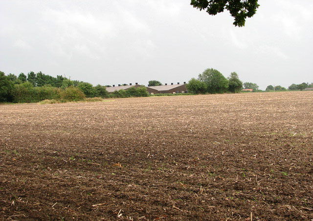
Image: © Evelyn Simak Taken: 4 Sep 2008
Beside Croxton Road. The view is easterly towards the village of Fulmodeston; the buildings seen in mid-distance are in the adjacent grid square. "The buildings in the picture are a chicken farm and the site of a significant event in the history of Fulmodeston. During WW2, a bomber returning from a raid was approaching Foulsham airfield when it was attacked by a German aircraft. It struggled on but eventually crashed, killing the crew on board." [Thank you, David Williams, for supplying this information.]
Images are licensed for reuse under creativecommons.org/licenses/by-sa/2.0
Image Location
Latitude
52.839895
Longitude
0.950497