Tudor Cottage
Introduction
The photograph on this page of Tudor Cottage by Andy Potter as part of the Geograph project.
The Geograph project started in 2005 with the aim of publishing, organising and preserving representative images for every square kilometre of Great Britain, Ireland and the Isle of Man.

There are currently over 7.5m images from over 14,400 individuals and you can help contribute to the project by visiting https://www.geograph.org.uk
Tudor Cottage
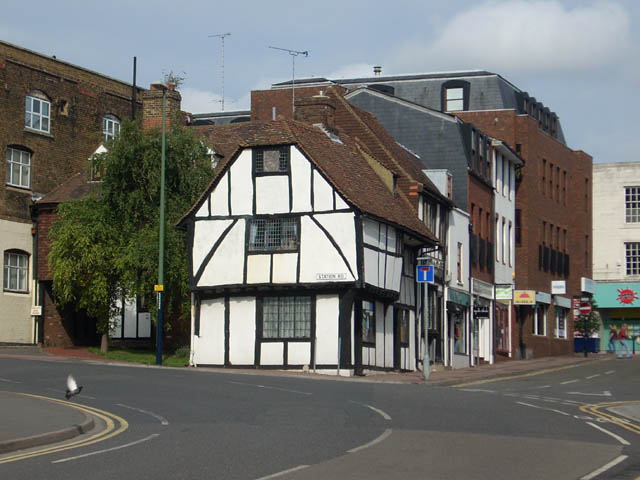
Image: © Andy Potter Taken: 31 Aug 2008
At the junction of St Faiths Road and Station Road this is described as "Tudor Cottage" on early postcards but is probably somewhat younger than the name suggests. I find it remarkable that buildings like this and Image survived the industrial revolution in an urban environment.
Images are licensed for reuse under creativecommons.org/licenses/by-sa/2.0
Image Location
Latitude
51.276133
Longitude
0.521518