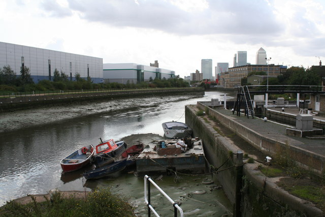
Bow Creek near Bow Locks
Introduction
The photograph on this page of Bow Creek near Bow Locks by Dr Neil Clifton as part of the Geograph project.
The Geograph project started in 2005 with the aim of publishing, organising and preserving representative images for every square kilometre of Great Britain, Ireland and the Isle of Man.
There are currently over 7.5m images from over 14,400 individuals and you can help contribute to the project by visiting https://www.geograph.org.uk

Image: © Dr Neil Clifton Taken: 3 Sep 2008
This shows the head of the Creek at low tide and it is easy to see why it is not navigable at that time. The Creek writhes like a demented serpent, and it is long way by water to the Thames. Excellent views of the Creek can be had from the Docklands Light Railway between Blackwall and Canning Town, but very few boats use it now. However, it is said that certain heavy parts required for the 2012 London Olympics are being brought in by water this way: apparently they are too large for Limehouse Cut.

