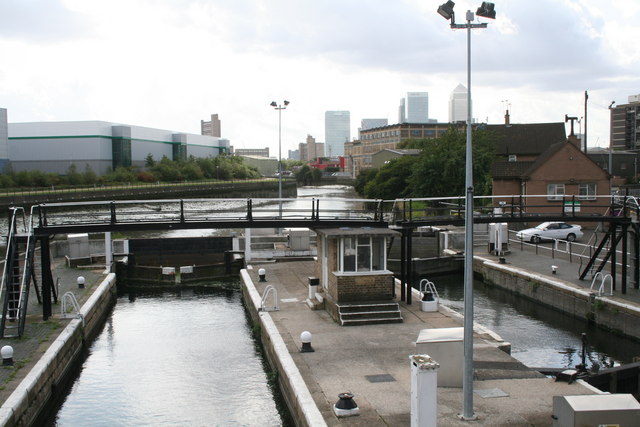
Bow Locks
Introduction
The photograph on this page of Bow Locks by Dr Neil Clifton as part of the Geograph project.
The Geograph project started in 2005 with the aim of publishing, organising and preserving representative images for every square kilometre of Great Britain, Ireland and the Isle of Man.
There are currently over 7.5m images from over 14,400 individuals and you can help contribute to the project by visiting https://www.geograph.org.uk

Image: © Dr Neil Clifton Taken: 3 Sep 2008
These locks see little use nowadays as compared with past years. They can only be used near high tide, as if the tide is too low, Bow Creek (seen beyond the locks) would not be navigable. The locks are useful only for (a) craft using Bow Creek to and from the Thames and requiring access to the Lee Navigation, or (b) craft to or from Limehouse Cut wishing to access Abbey Creek, (unlikely!). There is now no access this way to Bow Back Rivers, as Three Mills Sluice is not now navigable. If the high tide is just right, the gates at both ends can be opened allowing craft to pass freely through without stopping!

