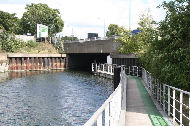
Blackwall Tunnel Northern Approach Road bridge over Limehouse Cut
Introduction
The photograph on this page of Blackwall Tunnel Northern Approach Road bridge over Limehouse Cut by Dr Neil Clifton as part of the Geograph project.
The Geograph project started in 2005 with the aim of publishing, organising and preserving representative images for every square kilometre of Great Britain, Ireland and the Isle of Man.
There are currently over 7.5m images from over 14,400 individuals and you can help contribute to the project by visiting https://www.geograph.org.uk

Image: © Dr Neil Clifton Taken: 3 Sep 2008
We are looking northeast here. The scene is very much changed since World War II. Before the changes, there was just a small bridge here, called Four Mills Bridge, crossed by a road known as St. Leonards Street. Just beyond the bridge was a lock, Bromley Lock. The works, involving construction of a large dual-carriageway road, entailed removal of the lock and towpath, and for many years access to the Limehouse Cut towpath was not possible here. But in 2004, a new floating towpath (edged in green) was constructed - it won a design award.

